


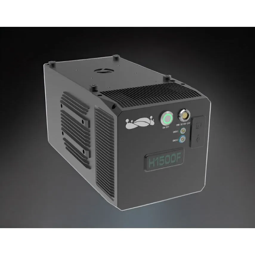
The LiAir H1500F is an advanced long-range LiDAR scanning system designed to provide exceptional accuracy and efficiency for a wide range of applications. Combining a state-of-the-art laser scanner, a high-precision inertial navigation system, and a 45-megapixel full-frame mapping camera, this lightweight and versatile system is perfect for capturing large-scale point cloud data quickly and accurately.
Key Features
Extended Range and High Efficiency: The LiAir H1500F is equipped with a 1550nm long-range laser scanner capable of reaching distances up to 1500 meters with a maximum point frequency of 2,000,000 points per second. This allows for the rapid acquisition of extensive three-dimensional spatial information.
Lightweight and Adaptable: Weighing just 3.5 kg, the LiAir H1500F can be easily mounted on various platforms, including small rotary-wing and fixed-wing drones, ensuring flexibility and ease of use in different operational scenarios.
Superior Accuracy: With a horizontal field of view of 75 degrees and a repeat ranging accuracy of 5mm, the system delivers precise data. It operates effectively at heights up to 200 meters, maintaining a vertical positioning error of less than 5cm.
High Penetration Capability: The system's ability to achieve up to 7 returns offers excellent vegetation penetration, capturing comprehensive sub-canopy terrain even in densely forested areas, resulting in highly accurate topographic maps.
Ultra-High-Definition Imaging: Featuring a built-in 45-megapixel high-resolution camera, the LiAir H1500F captures ultra-high-definition images with a ground resolution of 4.2cm at a 200-meter flight altitude. This enhances the creation of high-precision Digital Orthophoto Maps (DOM) and realistic colourized point clouds.
Comprehensive Software Solutions: GreenValley International provides a complete software suite, including LiGeoreference for pre-processing and optional post-processing tools such as LiPowerline and LiDAR360. These tools support integrated navigation solutions, point cloud processing, and advanced 4D product generation, including individual tree segmentation and power line inspection reports.
Specifications:
Detection Range: 1500m @ 80% reflectance, 1000m @ 60% reflectance, 700m @ 20% reflectance
Vertical Accuracy: 5cm @ 200mMemory: 256GB TF Card
Weight: 3.5 kgPower Consumption: 63 W
Operating Temperature: -20~50℃,
Storage Temperature: -30~60℃
LiDAR Unit: Wavelength 1550nm, 1 Channel, FOV 75°, 7 Returns, Point Rate 2,000,000 points/s
Inertial Navigation System: GNSS (GPS, GLONASS, Galileo, BD), Attitude Accuracy 0.005°, Azimuth Accuracy 0.01°, IMU Data Frequency 1kHz
Camera: 45 MP, Sensor size 36x24mm, Focal Length 21mm, Field of View 81°(H) x 60°(V), Image Size 8184x5460


")

