


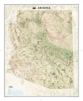
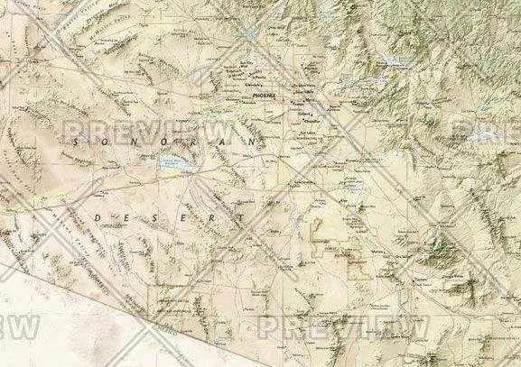
The Arizona State Wall Map, part of our growing series of State Wall Maps. Map depicts Arizona's diverse terrain and vegetation.
Contains hundreds of place names and precise locations of cities, major roadways and railways, airports, federal and state parks and protected areas, mountain ranges and prominent peaks, military installations, major lakes, rivers and reservoirs, and other geographic features.


")
